19th Century Map Collection
29.50CAN
each (entire map collection 95 US
(99.50CAN))
Size: Printed on 16" X 20" Fine Quality Paper
Shipping Costs:
1 to 3 prints ...........6.50CAN
4 to 16 prints..........9.50CAN
Limited Quantities
(Click on the images to enlarge)
(Museum and other gift shops
please inquire about our wholesale prices.)
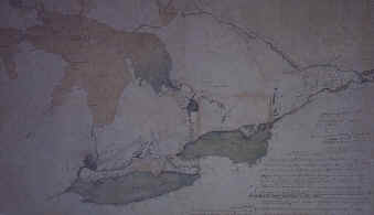
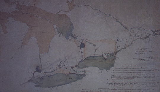
MAP-008 Sketch
Map of Upper Canada, 1795
Sketch supposedly made by Gov.
Simcoe's wife when Upper Canada was founded.
It is considered the
first map of Ontario.
MAP-009 Map
of Upper Canada/ Upper State NY, 1800
SOLD OUT
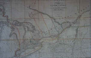
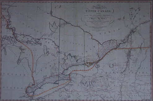
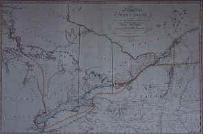
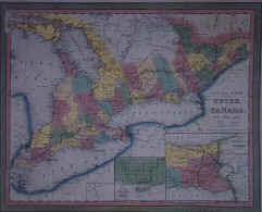
MAP-010 Map
of Upper Canada/Upper State NY, 1838
This map is popular with
School teachers because it shows the province at the time of the
Rebellions of 1837 and 1838.
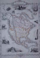
MAP-011
Map
of North America 1845 One of the most beautiful map of North America
printed.
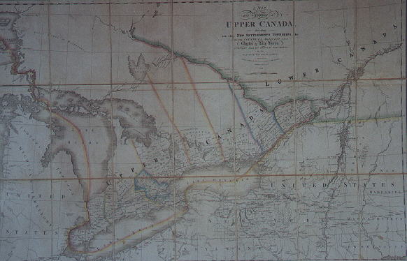
MAP-012
Map
of Canada West formerly Upper Canada 1850
Ontario as it
appeared when it was united with Quebec as the province of Ontario.
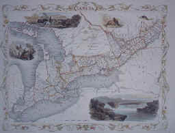
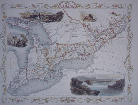
MAP-013 Map
of Canada West 1851
A beautifully illustrated colour map of
Ontario when it was Canada West.
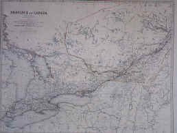
MAP-014 Map
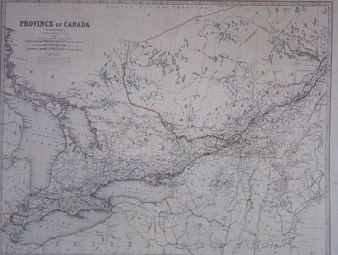
of the Province of Canada 1865
Quebec and Ontario as the united
province of Canada just prior to Confederation.
MAP-015 Map
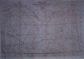
of North West Mounted Police Stations, 1886
Popular amongst
Royal Canadian Mounted Police enthusiasts,
this is a map of the NWMP
stations in part of
Western Canada.
MAP-016
Map
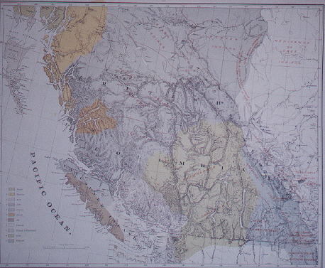
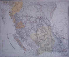
of Indian Tribes in British Columbia, 1883
This map is quite
significant in understanding the areas the First Peoples occupied over a
century ago in British Columbia.
It helps place into context the
various land claims and settlements of recent years.
Aside
from its purpose, this is a lovely map of one of the most beautiful spots
in the country.

MAP-017 Map
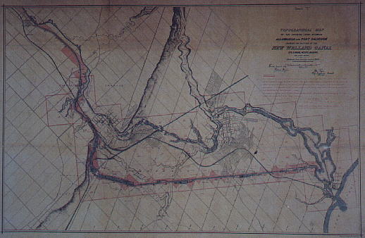
of the Welland Canal, 1879
Constructing the canal around Niagara
falls was an amazing feat in the 19th century.
This map assists the
viewer to understand the vastness of the project
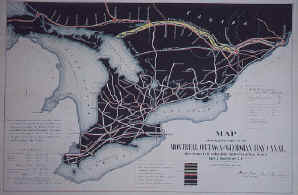
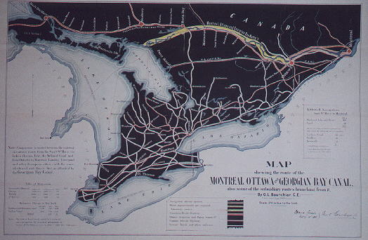
MAP-018 Map
of Ottawa and Georgian Bay Canal & Railways
This map
captures Ontario at the begin of the Industrial age and the importance of
railway and canal infrastructure.
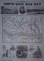
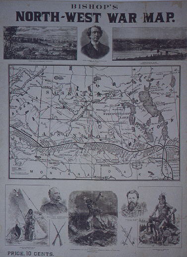
MAP-019 North
West War Map, 1885
This map illustrates the combatants and
locations of the second Metis rebellion in Western Canada.
This
ended with the trial and execution of Louis Riel which damaged relations
between anglophones and francophones.